Sideris: Star Map and Plate Solver for astrophotographers

Sideris

Offline plate solving & interactive star map.
Point your camera at the night sky and know exactly where you are aiming.

Features

Interactive sky map

Explore the night sky with a live map of stars, planets, the Moon and all 110 Messier objects.

Offline plate solving

Photograph your camera's screen, or the sky itself, and Sideris identifies where it is pointing. No signal required.

Live photo overlay

Your solved photograph, drawn on the sky map exactly where it points.

Tools for the field

A polar scope for your star tracker, a white screen for flat frames, and a moon phase calendar for planning.

Night mode

A red theme that turns on automatically after dark and preserves your night vision.

Free to try

Start with free plate-solve credits, then unlock unlimited solving with a one-time purchase. No subscription.

Inside the app

Solver & Interactive sky map
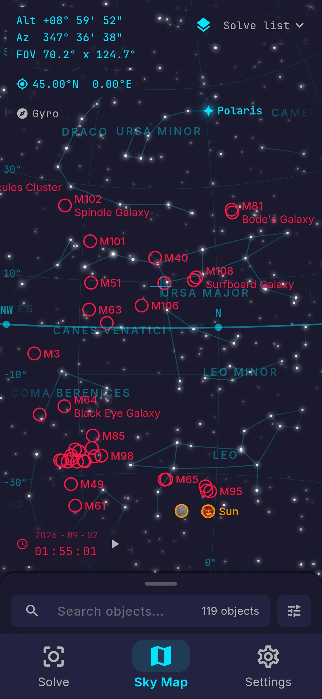
The Sideris sky map with constellation lines and names, Messier objects ringed, the planets labelled, and the altitude, azimuth and field of view of the view read out in the corner.
Interactive sky map
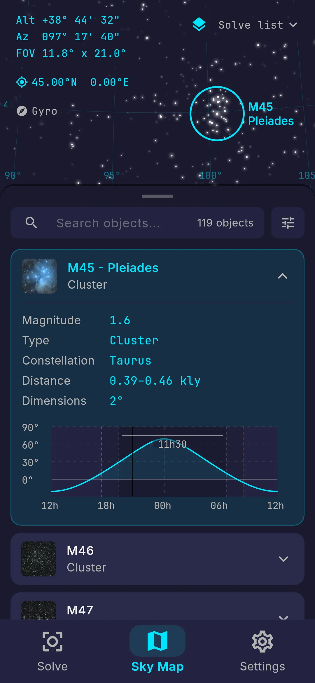
The deep sky object list, filtered and sorted, with M45 Pleiades opened to show its magnitude, type, constellation, distance and size, and a curve of its altitude through the night.
Deep sky objects
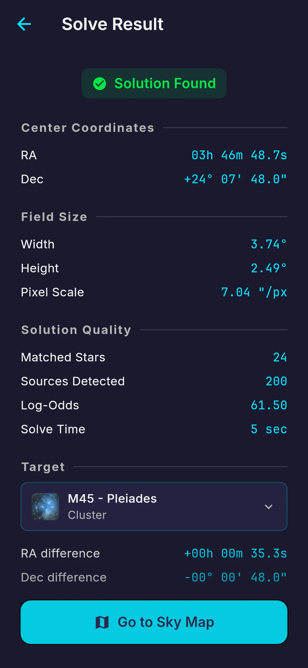
A solve result reading Solution Found, with the centre coordinates, the field size, the pixel scale, the number of matched stars and the solve time, and how far the frame centre sits from the chosen target.
Offline plate solving
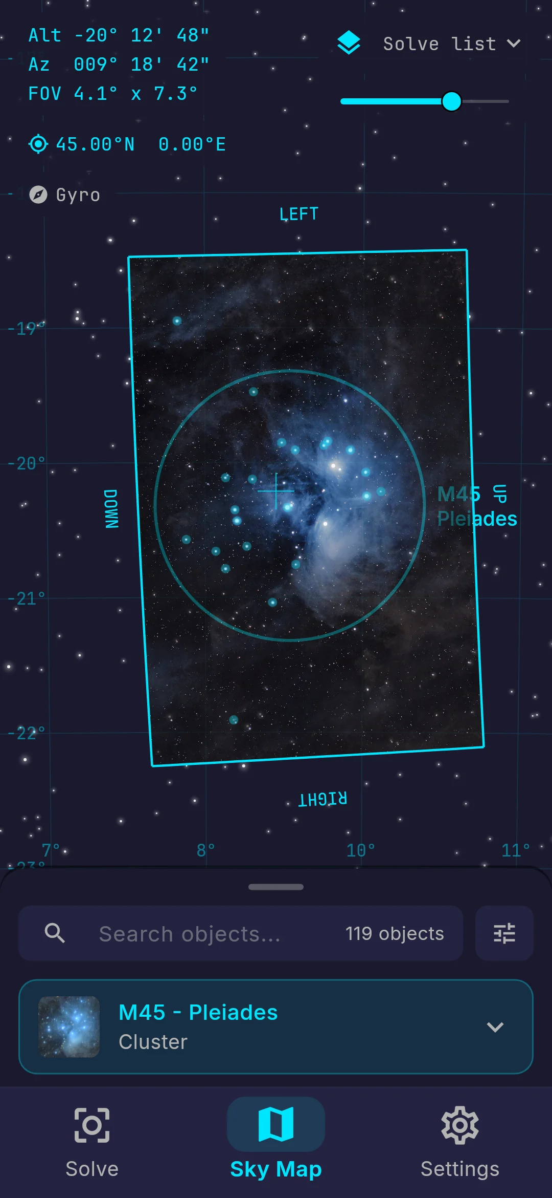
A solved photograph of the Pleiades drawn on the sky map inside a rotated frame, exactly where the camera was pointing, with an opacity slider above it.
Live photo overlay

Tools

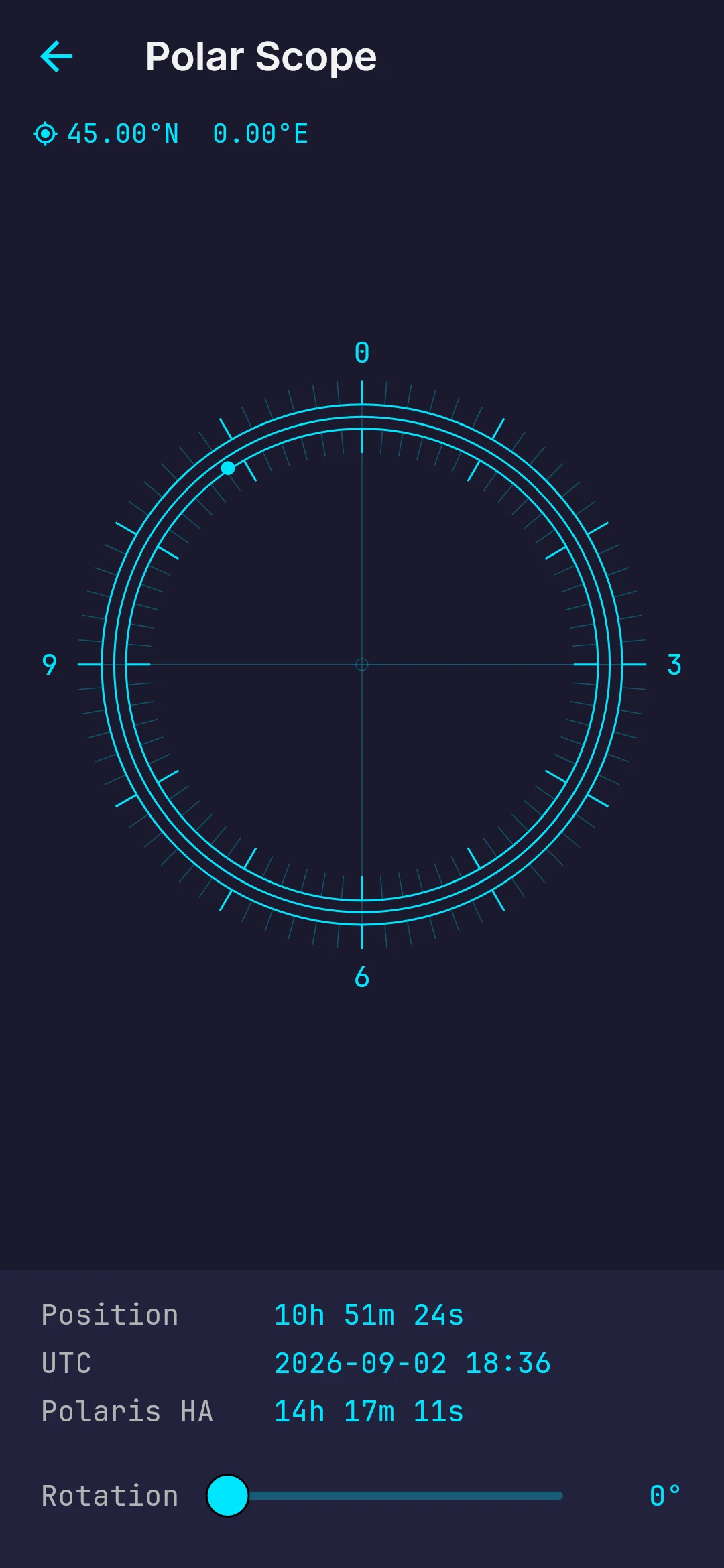
The polar scope reticle, marking where Polaris sits on the dial for the current hour angle, with a rotation slider to match the eyepiece.
Polar scope
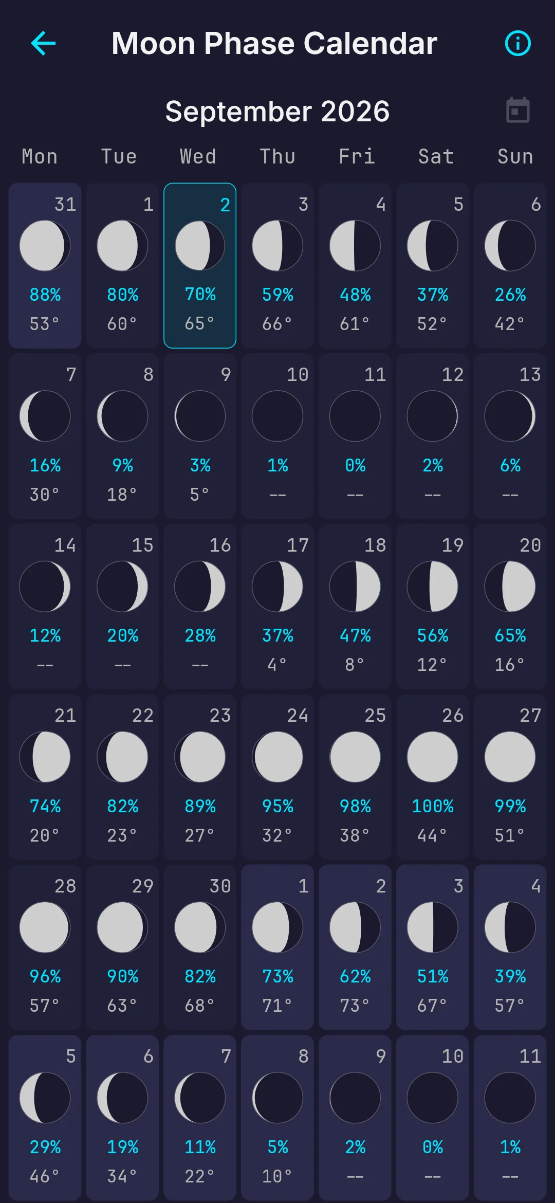
A month of moon phases, each night showing the phase, the percentage illuminated and the altitude.
Moon calendar
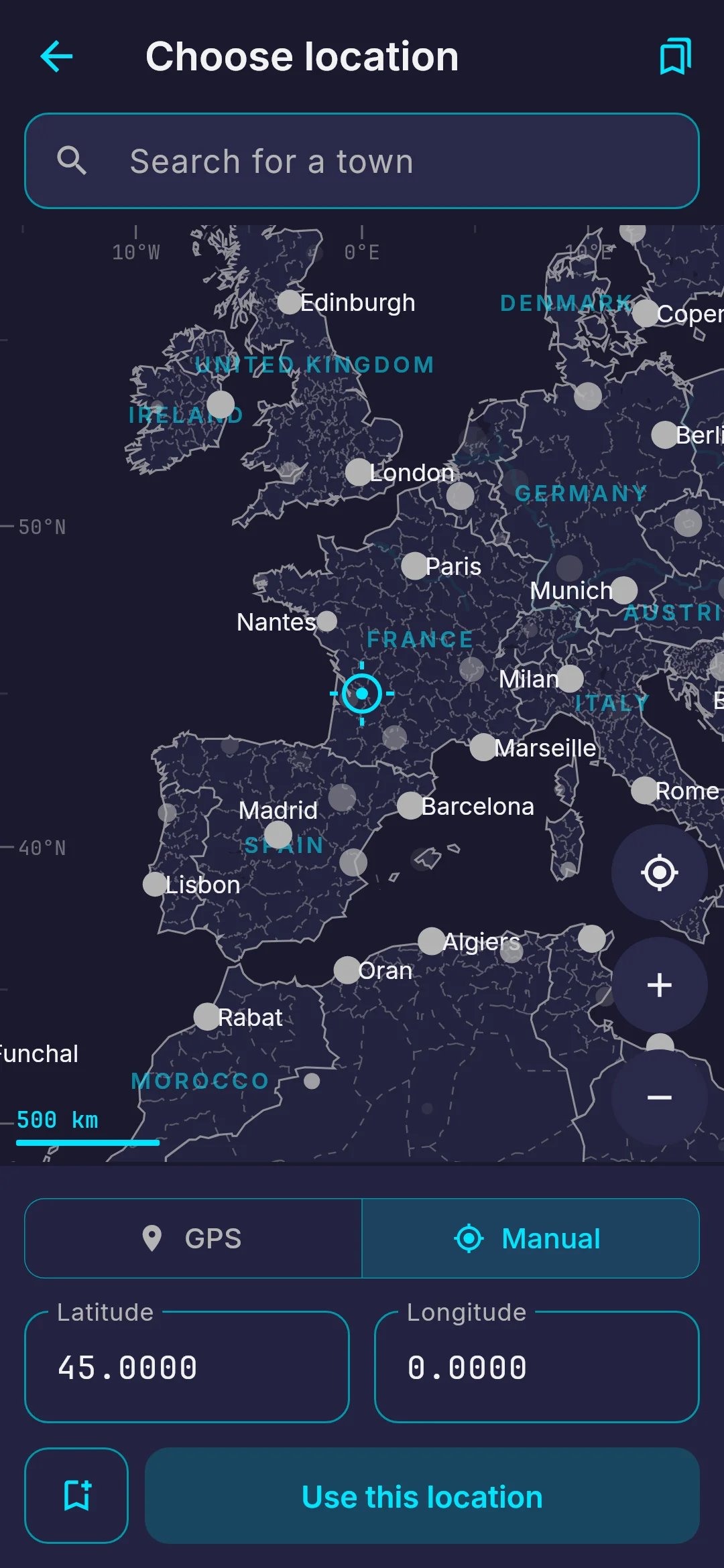
The location chooser, with a marker on the map and fields for latitude and longitude, set either from GPS or by hand.
Location map